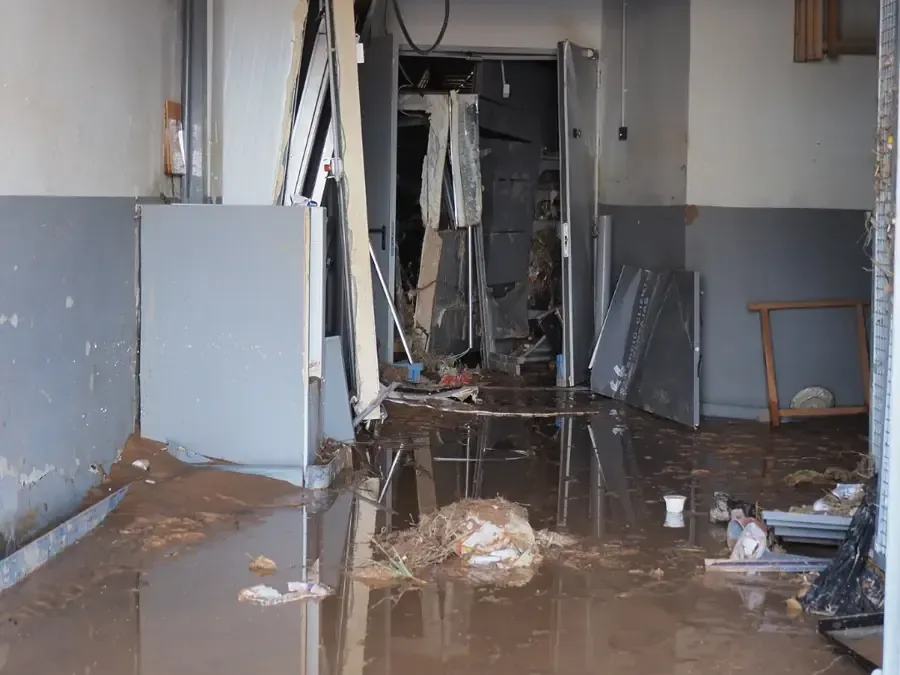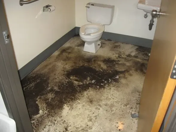
The March 2010 storms sent the Whitmanville River over its banks and across Whitmanville Road, washed out part of Batherick Road and damaged the Overlook Road culvert. A federal disaster declaration followed, and the town filed claims for public damage.
What the 2010 flooding showed
A board failing in an upstream dam made the river flooding worse, numerous basements filled and the Fire Department pumped many of them. A Route 140 corridor study in the 2010 annual report named flooding between Mile Hill Road and Gatehouse Road as the top concern and proposed larger culverts.
- Rivers and brooks can leave their banks in heavy rain.
- Culverts under roads can fail or back up.
- Silt and debris arrive with the water.
- Basements fill faster than household pumps can clear them.